


Apple has set out to improve pedestrian directions, and to that end, it has already recruited people to walk the streets of San Francisco and collect data on streets and highways.
The company has confirmed that the Apple Maps team will continue this work in the California area over the next month.
Read also: how can we measure the altitude we are at using our iPhone?
The information gathered is likely to be used to improve pedestrian directions in the app, as the tech giant intends to carry out a major overhaul of the app with data it has gathered itself. "We want to take Apple Maps to the next stage as we strive to create the best maps app in the world," the head of Apple Maps noted a while ago, Eddy Cue.

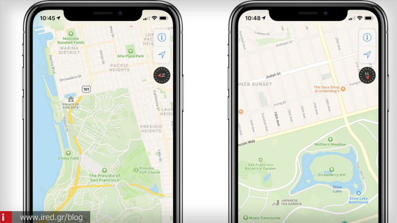
As part of the reorganisation, the app will start to show pedestrian routes, which are known to many people but not mapped. In addition, Apple Maps will offer more detailed visualization of the broader environment of each route, and several of these improvements are already visible in California.
Read also: 7 amazing apps to clean iPhone from unnecessary files
According to Apple, the improvements will be rolled out to the United States in the coming months, while the project is also being rolled out internationally, with Apple Maps vehicles already seen in parts of Croatia, France, Ireland, Italy, Italy, Japan, Portugal, Slovenia, Spain, Sweden, Portugal, Slovenia, Spain and the United Kingdom.